

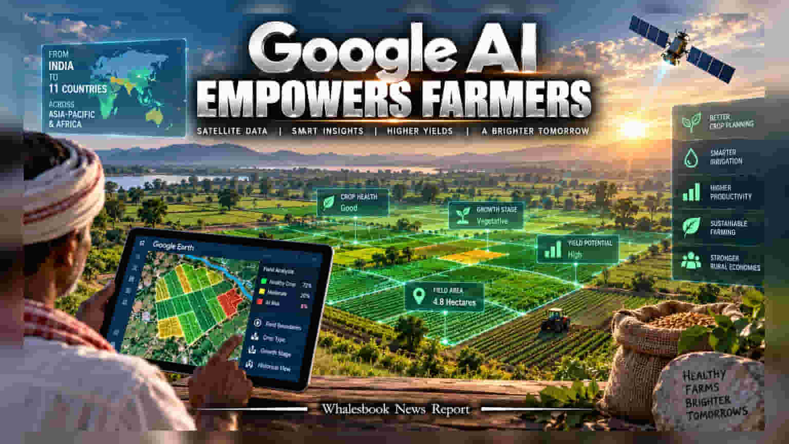
Google DeepMind has expanded its Agricultural Landscape Understanding (ALU) and Agricultural Monitoring & Event Detection (AMED) models from India to 11 countries. While these tools aim to modernize farming through satellite-based insights, they also raise questions regarding digital dependency, data transparency, and the potential impact on small-scale producers.
Google DeepMind has officially scaled its AI-powered agricultural tools, originally developed for the Indian market, to 11 countries across the Asia-Pacific and Africa. The initiative centers on two primary models: the Agricultural Landscape Understanding (ALU) and the Agricultural Monitoring and Event Detection (AMED). By processing satellite imagery, these systems provide field-level data, such as mapping boundaries, tracking cultivation cycles, and monitoring crop health.
Scaling AI from India to Global Markets
The technology was designed to address challenges common in countries like India, where farmland can be fragmented and crop patterns diverse. The ALU model maintains a historical database dating back 15 years, allowing users to analyze long-term land usage changes. Meanwhile, the AMED layer offers more frequent updates, tracking field-level activity roughly every 15 days. These tools are now publicly accessible through open APIs and integrated directly into the Google Earth platform, making them available to governments, startups, and international researchers.
Partnerships and Real-World Applications
In India, the integration of these models has been utilized by both public and private entities. For example, the Telangana government has integrated these insights into its ADeX platform to generate hyper-local crop advisories, helping farmers detect pest outbreaks and manage field stress. In Karnataka, the Water Resources Department has combined this AI data with local sensors to improve irrigation efficiency across millions of hectares. Private firms are also utilizing the infrastructure. Mumbai-based startup Terrastack has reportedly used the platform to map over 140 million hectares of farmland, moving away from traditional, manual field inspections. Internationally, organizations like the Food and Agriculture Organization (FAO) are incorporating these models to assist with global food security initiatives, while firms like CarbonFarm are leveraging the data to automate the verification of carbon credits for rice cultivation.
Evaluating the Risks of AI-Driven Farming
While the adoption of precision agriculture technology promises productivity gains, the shift toward AI-integrated farming brings structural risks that investors and agricultural observers are monitoring. One primary concern, highlighted by independent reports, is digital and financial dependency. As farmers and state governments rely more heavily on proprietary, data-intensive systems, they may become locked into specific technological ecosystems, potentially increasing debt and limiting control over critical agricultural decisions.
Additionally, the opacity of these AI algorithms poses challenges for accountability. When farming decisions—or financial credit assessments—are influenced by automated systems, it becomes difficult for producers to understand or challenge the inputs. Furthermore, the operational cost of such technology is non-trivial. The deployment of large-scale, cloud-based AI systems requires significant energy and resource usage, which can affect the overall sustainability profile of these projects. Finally, the accuracy of these systems is entirely dependent on the quality of the input data; poor or biased data can lead to flawed insights, causing economic loss for the farmers who rely on them.