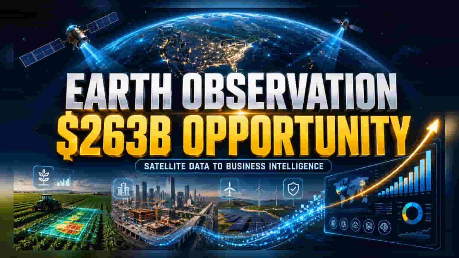
What Happened
A new report by the World Economic Forum and Deloitte highlights that Earth observation (EO) technologies—which include satellite imagery, remote sensing, and geospatial intelligence—have the potential to add $263 billion to the global economy annually. While these technologies currently contribute approximately $440 billion, the study suggests that a total potential of $703 billion is within reach if industries move beyond just collecting data and start using it for concrete business decisions.
Why This Matters For Investors
The core finding of the report is that technology exists, but the ability to turn raw satellite data into actionable business intelligence is still evolving. For investors, this shift indicates that the real value lies not just in the hardware—like satellites—but in the software and AI platforms that process this data. The report identifies precision agriculture as a major growth area, estimating its untapped potential at over $136 billion annually. Other key sectors include insurance, finance, and infrastructure monitoring, where satellite data can help assess risks or monitor construction progress in real-time.
The Indian Context
India is already seeing the practical application of these technologies. The report cites a project near Jaipur, where thermal intelligence derived from satellite data helped urban planners design layouts that reduced ambient temperatures by 7 degrees Celsius. As India expands its focus on smart cities, renewable energy projects, and modern agriculture, companies providing geospatial data analytics and remote sensing services are likely to become more relevant. Several Indian technology and mapping firms are already integrating these insights into their enterprise solutions, helping businesses optimize supply chains and select project sites more effectively.
The Risk: The Insight-Action Gap
While the growth potential is significant, the report points out that over 37% of the economic opportunity remains unrealized. This is largely due to an 'insight-action gap,' where companies struggle to turn complex satellite images into usable, reliable, and trusted business information. For investors, this represents a major operational challenge for companies in this sector. Developing AI and enterprise software that can automatically detect risks and generate real-time alerts is expensive and requires significant research and development. Furthermore, the sector faces risks related to data privacy, regulatory compliance, and the high capital costs associated with space-based infrastructure.
Peer And Sector Check
The Earth observation sector is evolving from a data-provider model to an outcome-driven one. Globally and in India, this means companies must now prove their worth by delivering specific results—such as increasing crop yields for farmers or reducing insurance risk for banks—rather than simply selling raw satellite imagery. Investors should note that the market is becoming crowded with both established space-tech companies and newer startups, which could lead to competitive pressure on pricing and margins in the coming years.
What Investors Should Track
For those monitoring the space and geospatial sector, the key developments to track include the speed of adoption across industries like agriculture and insurance, and the ability of technology firms to simplify their data products for non-technical users. It will also be important to watch how government policies on space technology and geospatial data continue to evolve, as these regulations will directly impact the business environment for domestic firms. Finally, monitoring the actual commercial contracts and partnerships secured by these firms will provide a better picture of the sector's growth than just the theoretical potential of the market.