

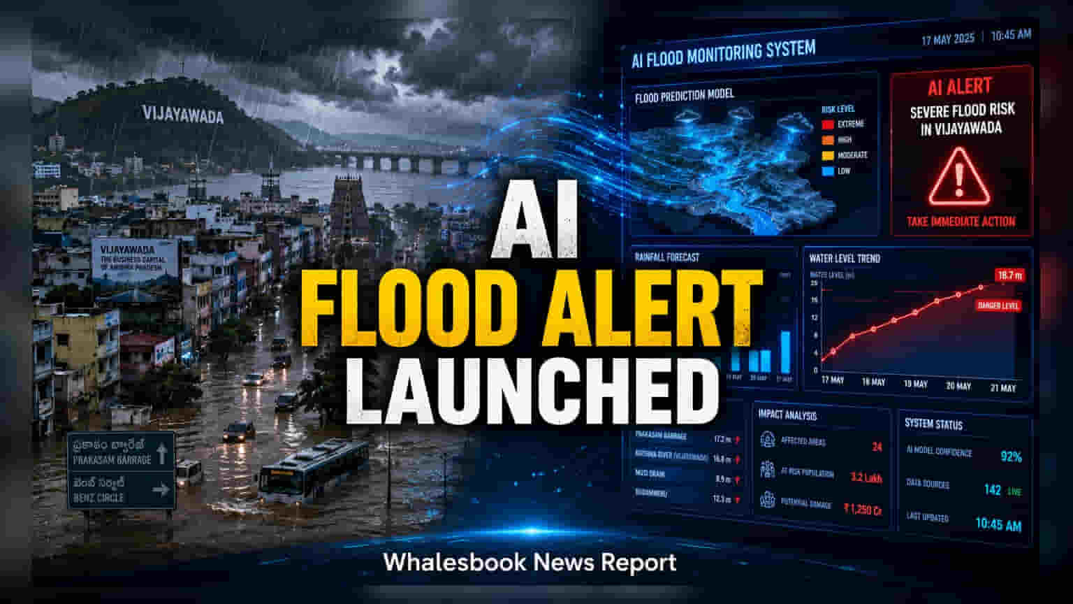
Andhra Pradesh has deployed an AI-powered flood alert system in Vijayawada to provide 48-hour rainfall and six-hour flash flood forecasts. Developed with IIT Gandhinagar, the platform uses historical data and satellite mapping to help the government identify flood-prone areas. This tech-driven approach aims to improve urban resilience and enable faster disaster response for the city.
Detailed Coverage
The Andhra Pradesh government has officially launched an advanced artificial intelligence platform designed to predict urban flooding in Vijayawada. This initiative represents a shift toward using data-driven technology to manage disaster risks in rapidly growing urban centers. The system was developed through a collaboration between the Real Time Governance Society (RTGS), the Andhra Pradesh State Disaster Management Authority (APSDMA), and technical experts from IIT Gandhinagar.
Technology Behind the Flood Predictions
The flood alert platform combines several high-tech tools to function. It uses a high-resolution Digital Elevation Model created from satellite imagery, which maps out terrain elevations and drainage networks across individual wards in the city. By integrating this map with predictive analytics and hydrological modeling, the system can simulate how water moves during heavy rainfall. The model is trained on nearly 30 years of historical flood data, specifically focusing on the behavior of the Budameru stream, which has historically caused significant waterlogging in Vijayawada.
Operational Impact for Urban Management
For residents and local administration, the system offers two primary forecasting windows: rainfall predictions up to 48 hours in advance and flash flood warnings up to six hours ahead. By identifying flood hotspots at the ward level, the platform can automatically send early warning alerts to government officials. Beyond emergency response, the system provides a secondary long-term benefit by identifying drainage channels that suffer from silt accumulation. This allows municipal authorities to plan maintenance work before the monsoon season begins, potentially reducing the frequency of waterlogging.
Addressing Urban Resilience
Vijayawada’s geography, particularly its proximity to the Budameru stream, has long been a source of flood-related operational risk for the city’s infrastructure and local economy. By automating early warnings and mapping vulnerabilities, the state aims to move from reactive disaster management to a more proactive stance. This move toward digital infrastructure is part of a broader trend in Indian cities to use technology to mitigate the economic and physical costs associated with recurring natural disasters. The effectiveness of this system will largely depend on the speed of government response to the alerts and the ongoing accuracy of the data models as urban terrain changes over time.