

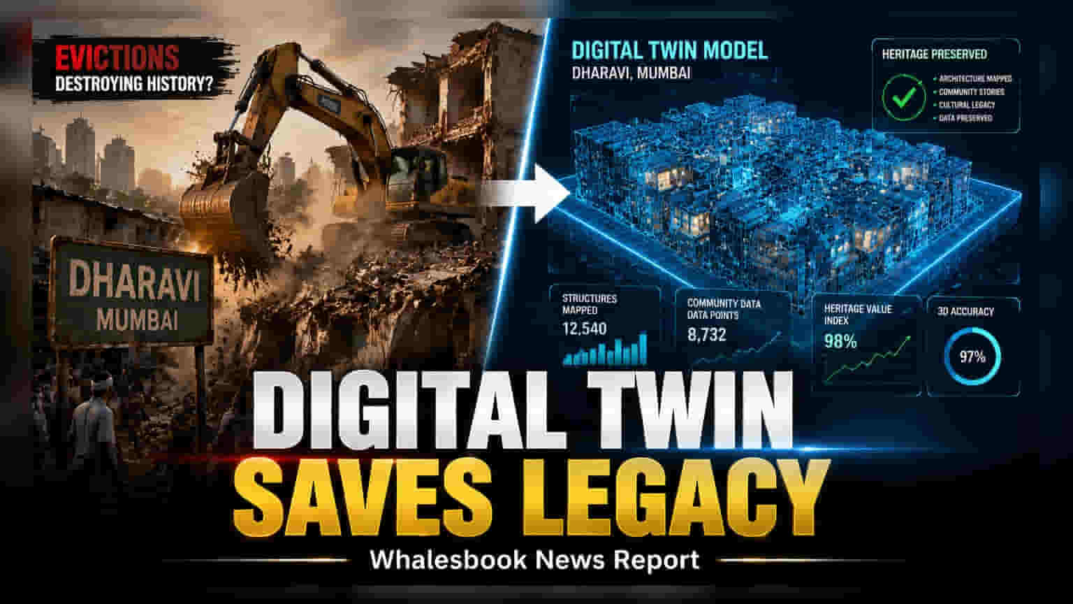
Mumbai is using advanced 3D digital mapping to create a precise replica of the Dharavi settlement. This tool aims to streamline the complex redevelopment process by documenting every structure and resident location. The initiative serves as a database to help planners manage rehabilitation more efficiently and reduce potential disputes during the project.
The ongoing redevelopment of Dharavi in Mumbai has reached a new technological milestone with the creation of a comprehensive 3D digital twin. By utilizing drone surveys, LiDAR technology, and detailed ground-level mapping, authorities are building an exact digital replica of the entire area. This digital model serves as a central database that documents the precise layout of existing structures, utility connections, and resident information, providing a single point of reference for all planning activities.
Efficiency in Urban Renewal
The primary practical use of this digital model is to manage the complex rehabilitation process. As the area prepares for transition into a modern township, officials face the challenge of identifying and relocating thousands of households and businesses. The digital twin functions as an analytical tool, allowing planners to map out plot occupancy and utility infrastructure with high accuracy. By digitizing these records, the project aims to minimize administrative hurdles and potential disputes between stakeholders during the relocation phase. This approach reflects a broader trend in urban planning where digital tools are used to reduce execution risk in large-scale infrastructure projects.
Balancing Modernization and Heritage
Beyond the operational benefits, the project also serves as a documentation effort to preserve the character of the settlement. While the physical infrastructure will change significantly under the new redevelopment plans, the digital twin will retain a permanent record of the existing narrow lanes, traditional workshops, and community spaces. This ensures that the spatial history of the area is preserved even as the landscape transitions to modern construction. The model captures the physical layout of a place known for its dense economic networks, providing a historical record that goes beyond mere statistics.
Potential Future Impact on Mumbai
The successful deployment of this digital twin could have wider implications for infrastructure management across Mumbai. If the model proves effective in streamlining the Dharavi project, similar mapping techniques could be adopted for other parts of the city. Such data could eventually support better urban management, including more effective flood control planning, emergency response coordination, and the maintenance of aging city utility systems. For investors and stakeholders, the key monitorable will be how effectively this data is used to reduce project timelines and costs as the actual construction and rehabilitation phases progress. Future updates from the project will likely focus on how these digital insights translate into actual ground-level rehabilitation progress.