

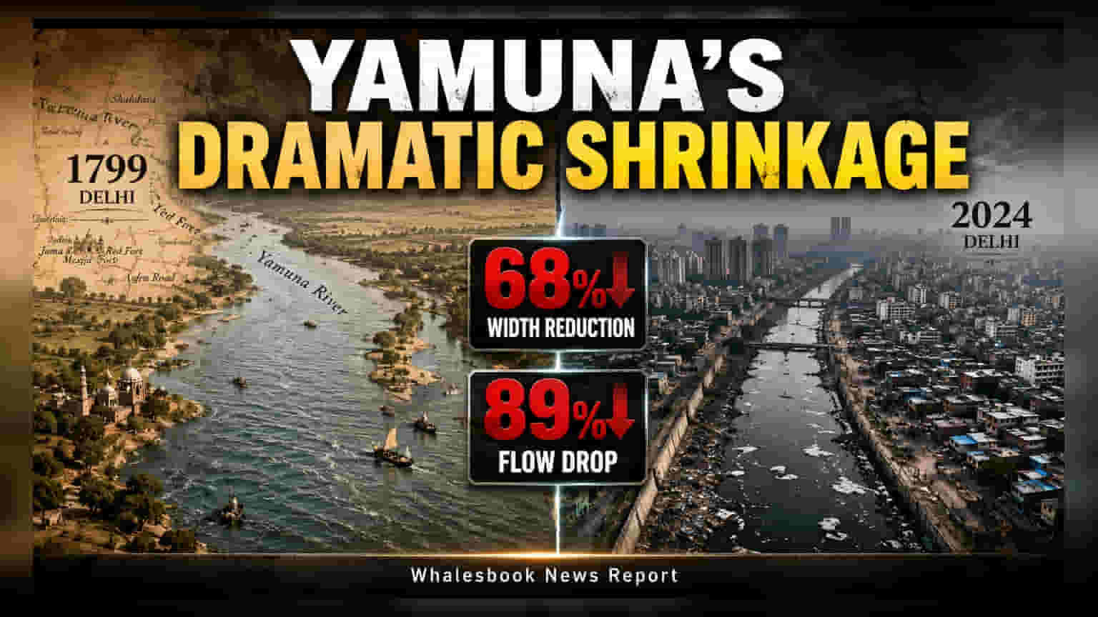
A study using 1799 records reveals the Yamuna River in Delhi has narrowed by 68% and seen water flow drop by 89%. This transformation, driven by urban expansion and infrastructure like barrages, has significantly reduced the city's natural flood resilience. Investors and policymakers may note how this long-term environmental shift impacts urban infrastructure and future development planning in the national capital.
A new research study, published as 'Two Centuries of Hydrogeomorphic Changes: Width-Discharge Dynamics of the Urbanised Yamuna River in Delhi,' has provided a detailed look at the physical transformation of the river over the past 227 years. By comparing an archival map from 1799 with current satellite imagery, researchers from the University of Delhi and the Indian Institute of Science Education and Research, Bhopal, have quantified a massive reduction in the river's dimensions and flow capacity.
The findings indicate that the average bankfull width of the Yamuna has contracted from approximately 658 meters in 1799 to just 210 meters in 2024. This 68% reduction in width is accompanied by a sharp decline in water discharge, which has fallen by an estimated 89% over the same period, dropping from roughly 30,000 cubic meters per second to around 3,900 cubic meters per second. Researchers link this decline directly to more than two centuries of human activity, including the construction of embankments, canals, and barrages that have fundamentally altered the river's natural course.
Infrastructure and Urban Development Impact
The study highlights that the construction of major infrastructure projects played a central role in these changes. Key milestones include the development of the Tajewala barrage in 1873, the Okhla barrage in 1874, the Wazirabad barrage in 1959, and the ITO barrage in the late 1960s. These structures have consistently diverted water upstream to support Delhi's exponential population growth, which has climbed from approximately 2.5 lakh in the early 19th century to more than 2.15 crore today.
Furthermore, the conversion of approximately 45 square kilometers of floodplain into areas for urban development and agriculture has disconnected the river from its natural flood-absorbing zones. By confining the river into a narrower channel, these embankments have hindered its natural ability to mitigate excess water.
Implications for Urban Flood Management
The research underscores a critical shift in how the river interacts with the city during monsoon events. Because the river is now constrained, it lacks the space to absorb surges in water volume. The study points to the 2023 floods in Delhi as a clear example of this vulnerability. Even with lower water releases from upstream compared to the severe floods of 1978, the river reached significantly higher levels in 2023. This indicates that the reduced width and loss of floodplains have made the city more susceptible to water level rises during high-discharge periods. For stakeholders in urban planning and infrastructure, these findings emphasize that future development projects near the river may face increased scrutiny regarding drainage, flood management, and long-term environmental sustainability.