

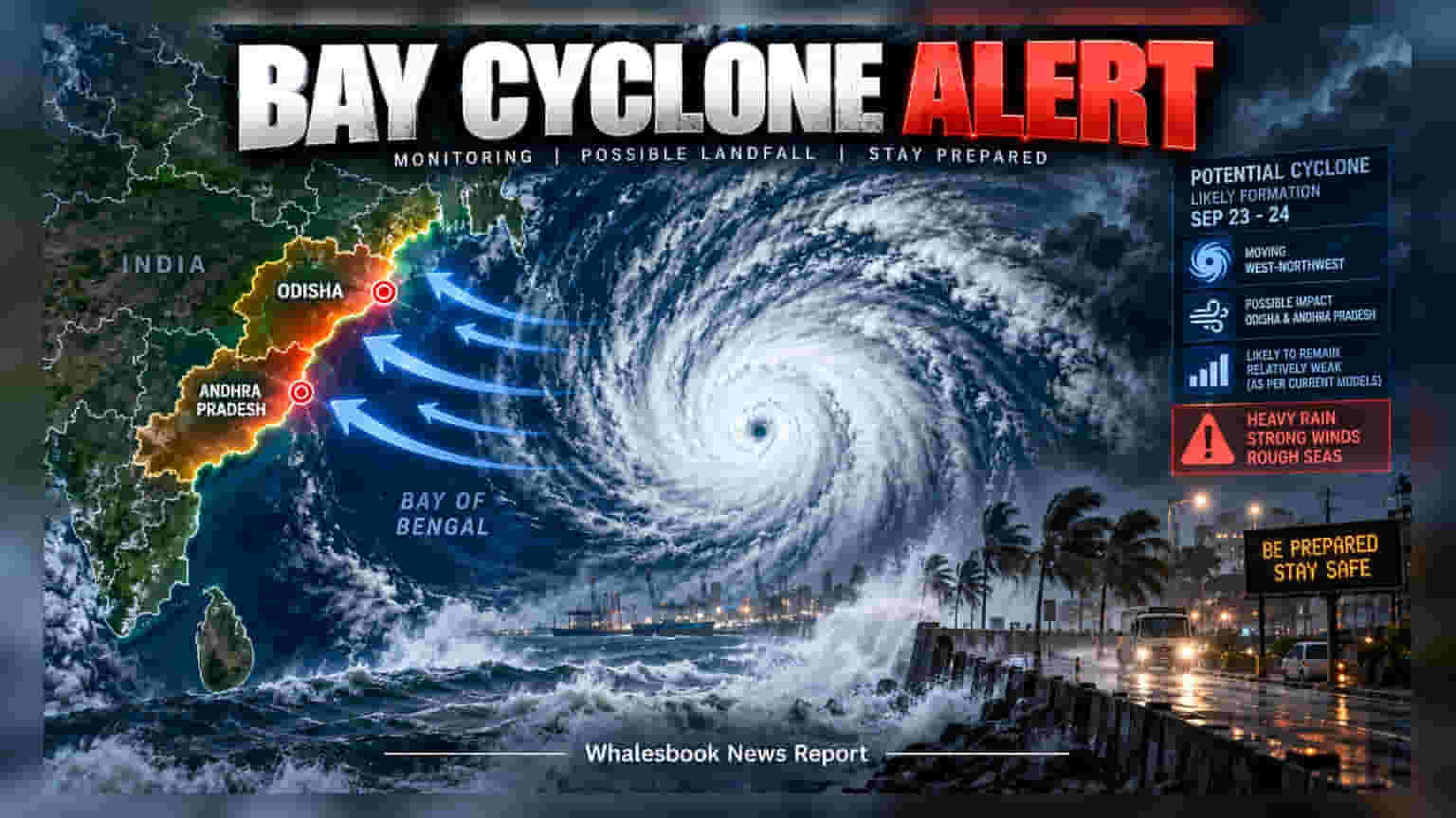
The India Meteorological Department is tracking a low-pressure system in the north Andaman Sea that could become the first cyclone of 2026. While models suggest potential movement toward the Odisha and Andhra Pradesh coasts by September 23-24, the storm's path and intensity remain uncertain. Coastal authorities and businesses with assets in these regions are monitoring weather updates.
A tropical weather system currently forming over the north Andaman Sea is being tracked by the India Meteorological Department for potential development into the first cyclone of the 2026 season. Originating from an upper-air cyclonic circulation over northern Thailand, the system is expected to move in a west-northwest direction toward the coastlines of Odisha and north Andhra Pradesh by next week.
While international weather forecasting models, including the European Centre for Medium-Range Weather Forecasts and the United States Global Forecast System, indicate the possibility of cyclonic development around September 23-24, experts caution that the forecast is still evolving. Meteorologists note that the potential storm's eventual strength, exact path, and landfall location remain uncertain. Both models currently suggest that if the system organizes, it may remain relatively weak.
The trajectory and intensity of such systems often shift as they interact with ocean temperatures and atmospheric conditions. Because of this, weather agencies continuously update their projections as new data becomes available. If the system intensifies, it would be named Arnab, marking the first cyclone in the North Indian Ocean since November 2025.
Odisha and Andhra Pradesh are key regions for agricultural production, port logistics, and power infrastructure. Severe weather in these coastal states can lead to operational disruptions, such as port closures, power grid stress, and potential damage to standing crops. As a result, coastal administrations, shipping operators, and businesses in sensitive sectors typically adjust their planning based on the latest meteorological advisories to mitigate risk.
Investors and regional stakeholders are expected to watch for the next series of bulletins from the India Meteorological Department. These updates will confirm whether the low-pressure area organizes into a depression or a cyclone, and will provide clearer guidance on the potential impact as the system approaches the east coast.