

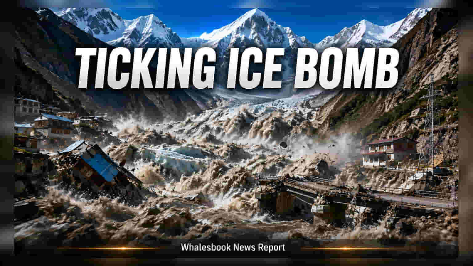
A massive glacial collapse on August 26, 2026, triggered severe flooding along the Bhote Koshi and Trishuli rivers, causing over 1,000 deaths and widespread damage. This catastrophe highlights major structural risks for hydropower and mountain infrastructure, raising concerns about the future of capital-intensive projects in the Himalayan region.
The Himalayan region is currently grappling with the aftermath of a catastrophic Glacial Lake Outburst Flood (GLOF) that struck the Nepal-China border on August 26, 2026. The disaster, linked to a bedrock failure beneath a glacier that registered as a magnitude 5.2 seismic event, has resulted in over 1,000 confirmed deaths, with approximately 4,500 people still reported missing. Beyond the humanitarian tragedy, the event has caused extensive destruction to roads, bridges, and critical infrastructure, placing the safety and viability of hydropower projects in the region under intense scrutiny.
Economic Impact on Hydropower Infrastructure
The most significant economic consequence of this disaster is the direct damage to hydropower facilities along the Bhote Koshi and Trishuli river corridors. These projects, often requiring high capital investment and long construction timelines, are designed based on historical water flow and geological stability data. The August 26 event demonstrates that current engineering standards may be insufficient to handle the sudden energy release of a GLOF, which can destroy infrastructure in minutes.
Investors and project developers now face the reality that mountain-based assets are vulnerable to unpredictable geological shifts. The destruction of tunnels and power facilities not only leads to immediate financial losses but also creates significant uncertainty regarding the insurability and long-term risk profile of similar projects throughout the Hindu Kush and Himalayan arc.
The Shift Toward Predictive Resilience
For years, disaster management has relied heavily on reactive measures—providing aid after the damage is done. This disaster has shifted the conversation toward proactive resilience. Because these events originate in high-altitude zones far above populated areas, traditional ground-based warning systems are often too slow to alert workers and residents downstream.
There is a growing consensus among regional policymakers and infrastructure planners that integrating advanced geospatial data is no longer optional. Satellite-based monitoring and real-time seismic tracking are becoming essential components for any major infrastructure project in the Himalayas. The ability to monitor glacial stability and predict potential lake breaches from space is being viewed as a necessity to mitigate the risk of future high-density torrents that currently render standard infrastructure defenseless.
Monitorable Trends for Stakeholders
The next phase for stakeholders, including investors in the energy and infrastructure sectors, will involve a reassessment of project risk premiums. The primary focus will be on the adequacy of early warning systems and the implementation of more robust engineering standards that account for extreme geological events. Future project approvals may require more rigorous environmental and geological stress tests, specifically focusing on the stability of moraine dams upstream. The ongoing relief operations and official investigations into the cause of the bedrock failure will provide crucial data that could shape future safety regulations for infrastructure development across the entire Himalayan region.