

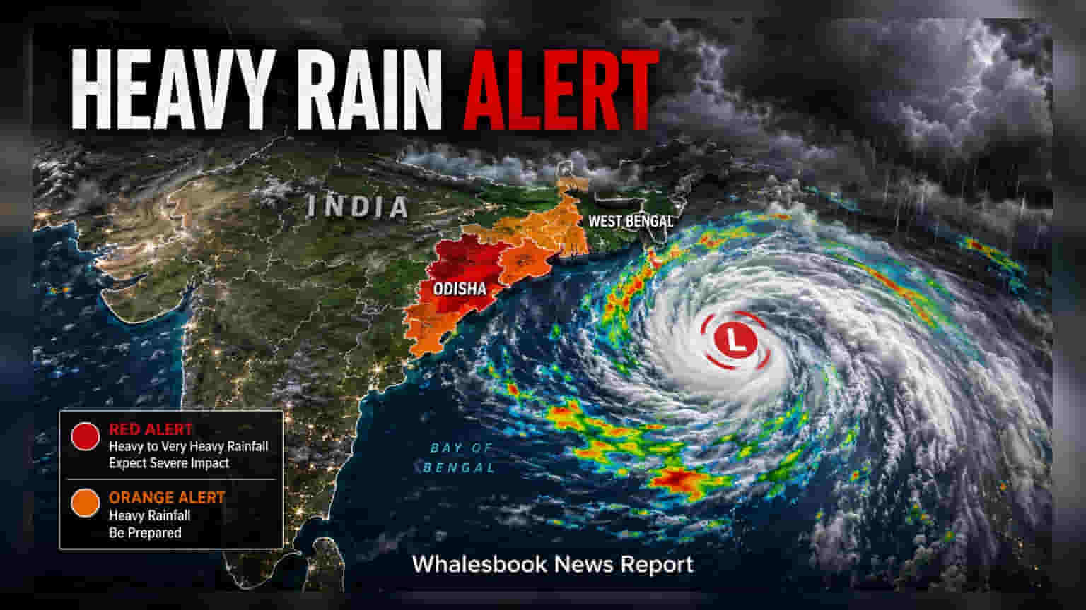
A low-pressure system over the northwest Bay of Bengal has triggered heavy rainfall alerts for Odisha and West Bengal. Investors may track potential impacts on regional logistics, agricultural supply chains, and coastal infrastructure operations. The India Meteorological Department expects active weather conditions to persist across these states through early September.
A new low-pressure area formed over the northwestern Bay of Bengal on the morning of August 29, 2026, creating active weather conditions that are moving toward the coasts of Odisha and West Bengal. The India Meteorological Department has issued red and orange alerts for several districts, with expectations of heavy to very heavy rainfall through the weekend and into early September. For the Indian market, this weather event brings specific operational risks to regions where coastal logistics, mining, and agricultural activity are concentrated.
The alerts cover key districts such as Balasore, Mayurbhanj, and Keonjhar. In these areas, businesses may face challenges related to localized waterlogging, temporary disruptions in road and rail transport, and potential delays in the movement of goods. For companies with significant manufacturing or extraction operations in these regions, the primary risk involves operational delays and the potential for temporary stoppages to ensure workforce safety and site integrity.
From an agricultural perspective, heavy rainfall during the monsoon season can influence the status of standing crops. While rain is vital for the farming sector, excessive precipitation or flash flooding can cause damage to harvest-ready stocks and impact field drainage. The meteorological authorities have advised farmers in affected districts to take precautions to protect livestock and harvested produce, highlighting the vulnerability of the rural economy to sudden weather volatility.
Coastal operations are also under pressure. Fishermen have been warned against venturing into the sea due to squally weather conditions, with wind speeds reaching 40 to 60 kilometers per hour. This creates an immediate impact on maritime logistics and port activities in the region, which may influence the supply chain of commodities and materials reliant on coastal transport.
Investors may monitor how these weather conditions affect local infrastructure and the speed of recovery in the days following the event. While the immediate economic impact is often localized, prolonged disruptions can sometimes affect regional production cycles or utility operations. The key monitorable for the coming week will be the actual intensity of the rainfall and how effectively regional disaster management and local administrations mitigate risks to transit networks and power infrastructure.