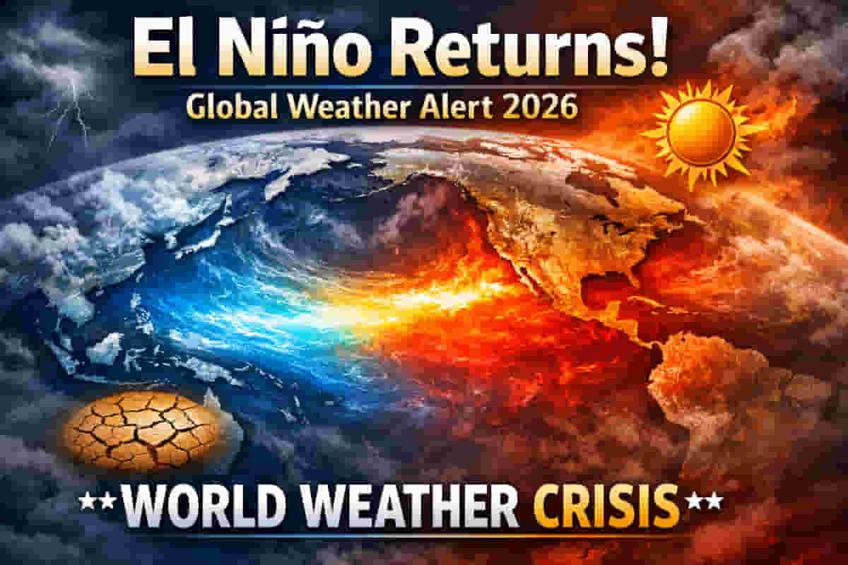
El Niño's Predicted Return and Global Climate Concerns
Climate analysts are closely monitoring early indicators suggesting a potential return of El Niño conditions in the equatorial Pacific Ocean. Forecasts point towards this significant weather phenomenon beginning in the second half of 2026 and intensifying through the subsequent winter season. This development carries substantial implications for global temperature trends and the frequency of extreme weather events worldwide.
Severe Weather Europe, a leading climate analysis platform, has highlighted the latest data. Their findings indicate a shift towards El Niño that could lead to another year where global average temperatures hover at or exceed the critical 1.5°C warming threshold above pre-industrial levels. Such a scenario heightens the risk of more frequent and severe heatwaves, prolonged droughts, and increased wildfire activity.
Understanding the El Niño Phenomenon
El Niño represents the warm phase of the El Niño-Southern Oscillation (ENSO), a natural climate cycle. During El Niño events, global average temperatures typically rise. This phase also disrupts established rainfall patterns, leading to wetter conditions in some regions and notably drier spells in others.
The underlying atmospheric dynamics involve changes in pressure systems over the tropical Pacific. Lower pressure in the eastern Pacific typically corresponds with increased rainfall there, while sinking air over the western Pacific results in higher pressure and more stable weather. These large-scale atmospheric shifts can propagate globally, influencing weather far beyond the equatorial region.
Potential Impact on India
For India, the implications of an El Niño return are particularly concerning due to its historical link with the monsoon season. Past El Niño episodes have often coincided with suppressed rainfall during India's crucial summer monsoon period. This reduction in monsoon rainfall can lead to agricultural distress, water scarcity, and significant economic repercussions across the country.
Current Climate Conditions and Signals
Currently, the Pacific Ocean is experiencing weak La Niña conditions, the colder counterpart to El Niño. These conditions are expected to wane during the upcoming northern hemisphere winter. However, recent observations show a reversal trend, with temperatures in the equatorial Pacific beginning to rise, particularly in the western regions.
This warming is not only visible on the surface but also beneath the ocean. Data reveals a substantial warm pool developing at depths of around 100 to 250 meters in the west Pacific. This subsurface warming is considered a key driver for the weakening of La Niña and the anticipated shift towards El Niño.
Forecast Models and Projections
Seasonal forecast models further corroborate the emerging El Niño signals. The European Centre for Medium-Range Weather Forecasts (ECMWF) model, for instance, projects a transition into full El Niño conditions by the summer of 2026. These forecasts typically suggest a moderate strength event, though historical data indicates such predictions often underestimate the actual intensity.
The current oceanic and atmospheric signals bear resemblance to conditions observed prior to the El Niño event of 2023-24. That period was marked by record-breaking global temperatures, contributing significantly to 2024 being recognized as the warmest year on record and the first to surpass the 1.5°C warming limit.
Future Outlook and Risks
The prospect of another El Niño event so soon after a period of record warmth raises alarms among climate scientists and policymakers. The potential for sustained high global temperatures increases the urgency to address climate change mitigation strategies. The recurring nature of these events underscores the ongoing strain on global climate systems.
Impact
The predicted return of El Niño poses significant risks to global climate stability and weather patterns. For India, the potential impact on monsoon rainfall could lead to agricultural losses, affecting food security and commodity prices. This could translate into volatility in sectors such as agriculture, food processing, and related industries, impacting market sentiment and returns for investors. The increased likelihood of extreme weather events globally also presents risks for supply chains and infrastructure.
Impact Rating: 7/10
Difficult Terms Explained
- El Niño: A climate pattern characterized by unusually warm ocean temperatures in the central and eastern equatorial Pacific Ocean. It is the warm phase of ENSO and tends to cause warmer global temperatures and altered rainfall patterns.
- La Niña: The counterpart to El Niño, characterized by unusually cool ocean temperatures in the same region. It is the cold phase of ENSO and tends to cause cooler global temperatures.
- ENSO (El Niño-Southern Oscillation): A recurring climate pattern involving changes in the temperature of the ocean surface across the equatorial Pacific Ocean. It cycles between El Niño, neutral conditions, and La Niña phases.
- 1.5°C Warming Threshold: A limit set by international climate agreements, referring to the maximum acceptable increase in global average temperature above pre-industrial levels to avoid the most severe impacts of climate change.
- Sea Surface Temperature Anomaly: The difference between the observed sea surface temperature and the long-term average for that location and time of year. Positive anomalies indicate warmer than average temperatures, while negative anomalies indicate cooler than average temperatures.
- ECMWF (European Centre for Medium-Range Weather Forecasts): An independent intergovernmental organisation that develops and operationalises medium-range weather forecasts, providing crucial data for climate analysis.