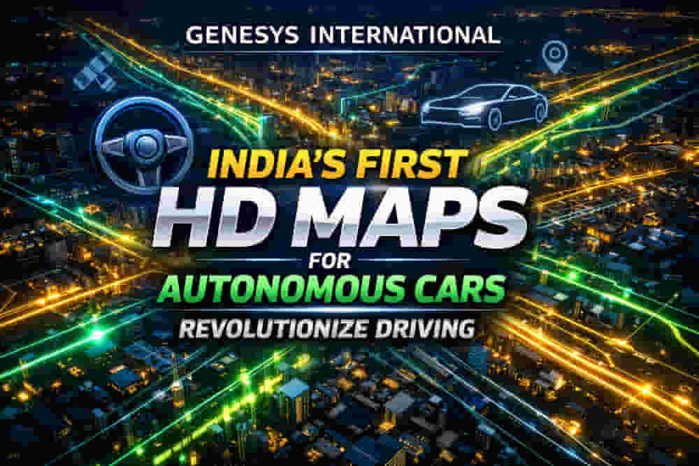
Genesys International Stock Surges on Groundbreaking ADAS Map Development
Genesys International Corporation's shares experienced a significant surge of 13.3 percent, hitting a day's high of ₹467.35 per share on Tuesday. This sharp rise followed the company's announcement of developing India's first large-scale High-Definition (HD) maps specifically engineered for ADAS-enabled vehicles. The news has generated considerable investor interest in the advanced mapping solutions provider.
By 10:57 AM, Genesys International Corporation's stock was trading 10.81 percent higher at ₹456.75 on the BSE. In comparison, the benchmark BSE Sensex saw a modest increase of 0.06 percent, closing at 84,613.74. The company currently holds a market capitalization of ₹1,907.85 crore, with its 52-week high recorded at ₹1,054.8 and a 52-week low at ₹390.9.
The Core Issue
The newly developed HD map system is designed to cover more than 100,000 kilometers of national highways, expressways, and strategic corridors across India. This initiative represents one of the country's most ambitious road intelligence programs, setting a new benchmark for automotive-grade precision mapping. The system is crucial for the advancement of modern vehicle safety technologies.
These HD maps include critical features for Advanced Driver Assistance Systems (ADAS), such as precise lane geometry, road markings, barriers, signage, medians, elevation, and curvature profiles. They also incorporate localization objects like poles and gantries, all processed to achieve centimeter-grade precision. This level of detail is essential for enabling vehicles to understand their environment with exceptional accuracy.
Financial Implications
The datasets generated by Genesys International are owned by the company and are available for licensing across various industries. Potential applications include commercial fleet navigation, logistics optimization, mobility platforms, safety analytics, and automotive research and development. This creates multiple avenues for revenue generation beyond the automotive sector.
India's extensive highway network accounts for a disproportionately high share of road fatalities. Factors such as fast-moving traffic, inconsistent lane discipline, and limited real-time awareness contribute to these accidents. The development of HD maps directly addresses this challenge by providing the centimeter-level context that traditional maps lack, including detailed lane geometry, curves, slopes, signage, and barriers. This helps ADAS systems anticipate dangers proactively rather than merely reacting to them, marking a significant advancement over current sensor-based ADAS technologies.
Official Statements and Responses
Hitesh Makwana, Surveyor General of India, commented on the initiative, emphasizing the transformative role of geospatial infrastructure in building a 'Vikshit Bharat'. He stated, "High-accuracy datasets are essential for modern mobility, national planning, and digital governance. Initiatives like this demonstrate how public infrastructure and private innovation can work together to advance the country’s long-term development goals."
Future Outlook
Genesys International Corporation positions itself as a leader in advanced mapping solutions with a dedicated team of over 2,000 professionals and a nationwide constellation of sensors. The company is actively building the 'new India map stack,' leveraging unique expertise to address emerging consumer applications and provide cutting-edge solutions for enterprise and government markets. Their focus on high-accuracy mapping is set to play a crucial role in India's digital and transportation evolution.
Impact
This development is poised to have a significant impact on road safety in India by enabling more sophisticated ADAS features. For Genesys International Corporation, it opens up substantial growth opportunities in the automotive technology sector, both domestically and internationally. It also aligns with national initiatives for digital infrastructure and safer transportation. The market has reacted positively, indicating strong investor confidence in the company's future prospects.
Impact Rating: 8/10
Difficult Terms Explained
- ADAS (Advanced Driver Assistance Systems): Electronic systems designed to help drivers in the driving and parking process. They use sensors and software to provide warnings or take control of the vehicle in certain situations.
- High-Definition (HD) Maps: Highly detailed maps that go beyond standard navigation maps, including precise information about road features like lane boundaries, road signs, traffic lights, and road geometry, crucial for autonomous driving and advanced safety systems.
- Centimeter-grade Precision: Refers to mapping accuracy within a few centimeters, significantly more precise than standard GPS, enabling systems to understand exact road positioning and features.
- Geospatial Infrastructure: The combination of hardware, software, data, and services used for collecting, analyzing, managing, and visualizing geographic or spatial data.
- CORS Network (Continuously Operating Reference Stations): A network of GPS receivers that continuously collect data, providing highly accurate positioning services used for surveying, mapping, and navigation.
- Vikshit Bharat: A Hindi term meaning "Developed India," often used in political and developmental contexts to refer to India's ambition to become a developed nation.