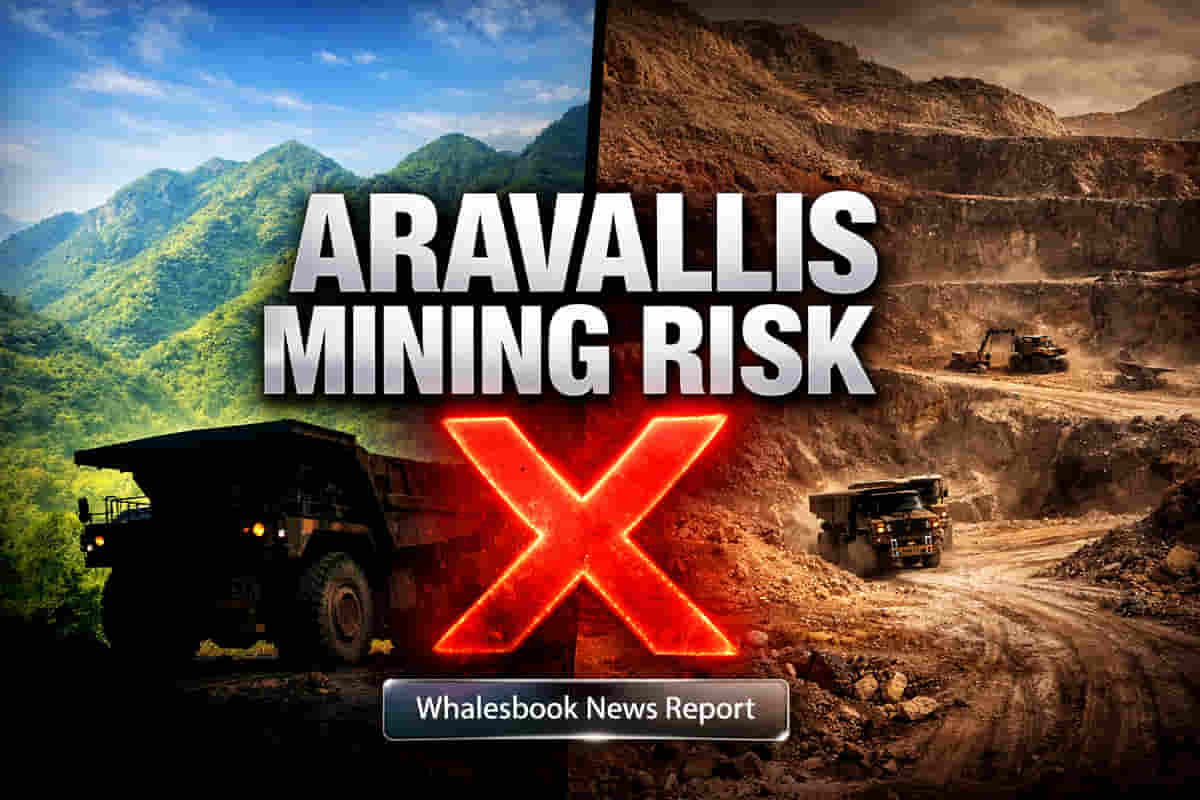
A New Definition, A Renewed Threat
A recent analysis by the Delhi Science Forum (DSF) indicates that a new definition for the Aravalli hills, recently accepted by the Supreme Court, could render approximately 50% of this vital ecological zone vulnerable to mining activities. This finding directly challenges statements made by Union Environment Minister Bhupender Yadav, who asserted that 90% of the Aravallis remain protected under the apex court's ruling. The divergence raises significant concerns about the future of environmental protection in the region and the potential for increased resource extraction.
The Core Issue
The Supreme Court directed the central government to formulate a uniform definition for the Aravallis, which led to the adoption of a new standard on December 20. This new definition, which largely mirrors the approach used by the Rajasthan government, classifies any landform in the Aravalli districts with an elevation of 100 meters or more from the local relief as part of the Aravalli Hills. The analysis applied this definition to a vast area, revealing that roughly 49% of the total surveyed land, or 15,589 square kilometers, could become exposed to mining, while only 15,825 square kilometers would retain protected status.
Environmental Concerns and Contradictions
Environment Minister Bhupender Yadav stated on December 23 that the apex court's ruling ensures 90% of the Aravallis remain protected, with no relaxations. However, the DSF analysis, using Shuttle Radar Topography Mission (SRTM) data, suggests a starkly different outcome, with nearly half the area potentially becoming accessible for mining. The Supreme Court itself, in a hearing on August 12, 2025, emphasized the critical need to protect the Aravallis from "uncontrolled mining activities" due to their role as a natural barrier and the severe ecological threats posed.
Geographical and Resource Implications
The potential impact of this new definition is expected to be most pronounced in Rajasthan, affecting areas including the popular hill station of Mount Abu and potentially regions near the historic Chittorgarh Fort. The report also highlights the Aravalli-Delhi system's significant potential for critical minerals such as tin, graphite, molybdenum, niobium, nickel, lithium, and rare earth elements (REEs). These resources are increasingly vital for the global energy transition, high-technology manufacturing, and national security, creating a complex interplay between environmental preservation and resource exploitation.
Expert Analysis
Environmental groups and analysts are raising alarms, pointing to the historical significance of the Aravallis as a natural shield and a crucial ecological zone. The Supreme Court's directive for a policy decision specifically mentioned concerns about unregulated mining. The discrepancy between the government's assertion and the analytical findings suggests a need for greater transparency and scrutiny regarding the implementation and interpretation of the new definition.
Impact
This news could significantly impact the mining sector, exploration companies, and potentially real estate development in the affected regions. It also raises questions about India's commitment to environmental conservation versus its drive for resource self-sufficiency. Investors in mining and related infrastructure may see shifts depending on how these regulatory changes are implemented.
Impact Rating: 7/10
Difficult Terms Explained
- Local Relief: The difference in elevation between a high point and a low point in a specific geographical area.
- Contour Line: An imaginary line on a map connecting points of equal elevation above a given level.
- Shuttle Radar Topography Mission (SRTM): A NASA-led project that used radar data to create detailed topographic maps of the Earth's surface.
- Critical Minerals: Elements and minerals deemed essential for economic or national security and supply chains, often used in advanced technologies and green energy.
- Rare Earth Elements (REEs): A group of 17 elements with unique properties crucial for many modern technologies, including electronics, magnets, and batteries.